Land Surveying

Prudent’s licensed surveyors deliver highly accurate mapping products and survey services for public- and private-sector clients. Utilizing many automated survey systems, such as robotics, LIDAR scanning, NYSNet RTK and GPS, we provide precise location and mapping data for a range of engineering purposes. Our scope of expertise is broad encompassing deed and records research, Right-of-Way and boundary surveys; appropriation mapping; abstract request maps; digital terrain modeling. Further bolstering our technical knowledge, we integrate state-of-the-art industry technology into our services and ensure that our staff is proficient in using new equipment.
Services Under Land Surveying
- Topographic Survey
- Right-of-Way Survey & Mapping
- Property & Boundary Surveys
- Bathymetric Survey & Cross Sections
- Base Mapping
- Design Survey & Mapping
Contact:
David J. LaRue, LS, EIT, CFM
Principal - Land Surveying Manager
Direct: 585-370-4888
dlarue@prudenteng.com
Explore Similar Projects
We are proud of each and every project. We are especially delighted to highlight a few projects to show the diversity of our work.
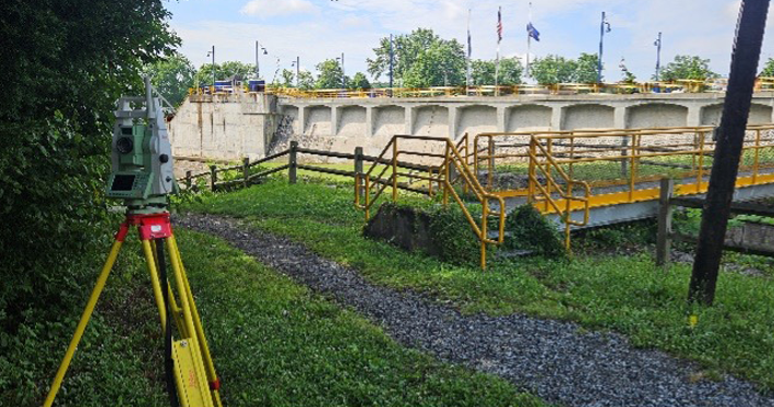
Canalway Trail Rehabilitation
Waterford, NY
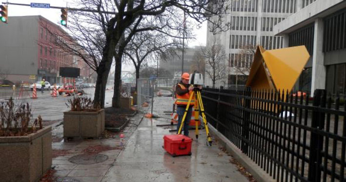
State Street Reconstruction, Basin Street to the Inner Loop
City of Rochester, Monroe County, NY