

Objectives
 Conducted detailed hydrographic surveys to map existing bathymetry throughout the Navy Yard Basin
 Provided geospatial data to inform tenant impact analysis and future maritime use planning
Supported feasibility analysis for safe dredging and improved vessel access tied to OSW and other emerging sectors
Collected sediment samples for Existing Conditions Report, ensuring samples were safely gathered and handled near active vessel paths
Supported coordination with BNYDC and maritime
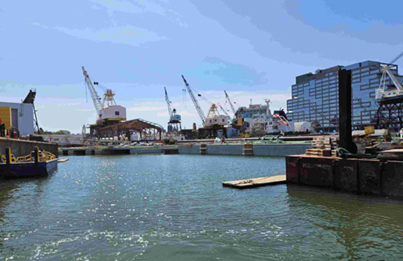
Once a powerhouse of American shipbuilding, the 300-acre Brooklyn Navy Yard is now at the forefront of sustainable urban industry. As part of the Navy Yard’s largest expansion since World War II, BNYDC launched a Waterfront Access and Dredging Improvement Plan to evaluate current maritime operations and identify opportunities for future use, including support for emerging industries such as offshore wind (OSW).
As subconsultant, Prudent Engineering was engaged to provide hydrographic survey services in accordance with marine safety protocols. Our work supported a comprehensive assessment of draft depths and underwater conditions—critical data for understanding navigability, infrastructure limitations, and opportunities for dredging and shoreline access improvements.