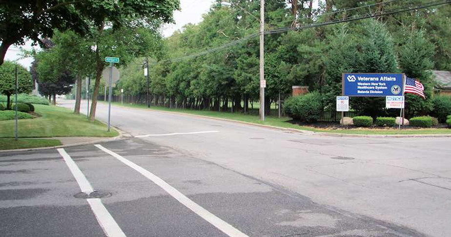
The project area includes Batavia Downs, a horse race track, horse stables, commercial and professional enterprises, eateries, motels, government facilities, and shopping malls. The intersection of Park Road and New York State Route 98 is opposite the entrance to NYS Thruway Exit 48. Prudent was retained to provide design and right-of way surveying and mapping. In addition to the bandwidth of 25 feet beyond the right-of-way limits of Park Road, the project included 200 feet of New York State Routes 98 and 63, 0.2 miles of Richmond Avenue, and various areas of concern.
Prudent established two GPS azimuth pairs in the NYS Plane Coordinate System by utilizing CORS on NAD83 (1996) datum. One pair was located along New York State Route 98, and the other pair along Redfield Parkway. A NGS vertical control point on NAVD 88 datum was held for elevation control, and differentially leveled to the site. A baseline was established between the pairs, measured and adjusted with least squares, and benchmarks were set throughout the project. All work performed by Prudent conformed to the New York State Department of Transportation Surveying Standards & Procedures Manual, and Section 5.4 of the Highway Design Manual.
Prudent also obtained topographic data, gathered property evidence, and investigated utilities within the project limits. Dig Safely was contacted, and records for the underground utilities were obtained from the operators. Property and highway records from the Town, Thruway Authority, County, and NYSDOT were complied. A base map, including utility details, and DTM were prepared to Town specifications. The property and highway evidence was analyzed, and a right-of-way file was included in the mapping. A stationed baseline with ties and benchmarks was included with the base map, and a detailed Control Report was prepared.